Professional Drainage Mapping Survey in Reading
Precision underground asset mapping and sewer tracing for Reading developments. Get the accurate site plans required for planning and construction.
- ◉ Precision Sonde & Trace Technology
- ◉ Detailed AutoCAD-Ready Layouts
- ◉ Non-Invasive Underground Detection
5cm Accuracy
We use advanced electromagnetic Sondes for pinpoint Reading sewer tracing.
100% Non-Invasive
Our mapping technology requires zero digging on your Reading site.
100% Local Compliance
All surveys meet Reading Borough Council and Thames Water standards.
Accurate Blueprints for Reading Property Assets
Accurate Blueprints for Complex
Drainage Networks.
Managing a property or development in Reading without a clear site plan is a high-risk gamble. Our Drainage mapping survey is designed to remove the “invisible” obstacles that stall Reading planning applications. Using advanced electromagnetic induction and sonar tracing technology, we produce a comprehensive layout of the entire drainage network. From heritage town-center sites to modern Reading business parks, we identify manhole depths, flow directions, and pipe diameters with surgical precision, ensuring your project stays on track and on budget.
Reading’s Most Comprehensive Drainage Mapping Suite
We provide the high-precision data that Reading architects, developers, and engineers rely on. Our services ensure full compliance with local Reading building regulations and water authority requirements.

Sonde & Trace Locating
We use radio-frequency "Sondes" to trace the exact path of Reading sewers above ground, even through deep concrete or soil.

Connectivity Verification
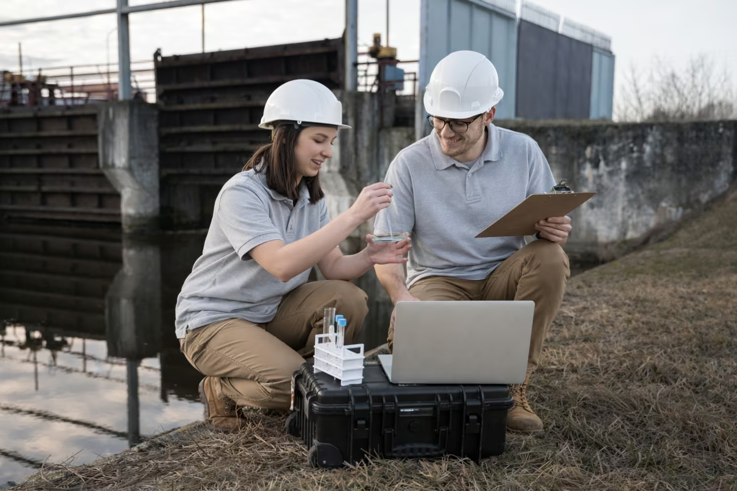
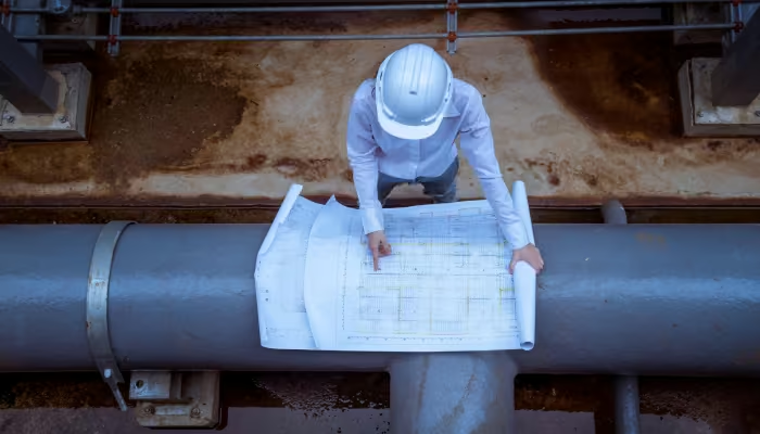
We map the "As-Built" flow of your Reading site, ensuring every gully and stack connection is correctly identified and documented.

Manhole Schedules
Detailed technical data for every access point in your Reading network, including cover levels, invert depths, and pipe materials.

Build-Over Agreements
Providing the specific CCTV mapping required by Thames Water for Reading properties building within 3 meters of a public sewer.

GPS Asset Tagging
We provide precise coordinates for Reading’s major drainage junctions, essential for large-scale commercial site management and future-proofing.
The "No-Dig" Intelligence: How We Map
Precision Data Without the Excavation.
Old-school mapping involved “exploratory” digging and guesswork. Our modern Drainage mapping survey uses non-invasive technology to see through the ground.
- GPS Tagging: We can provide coordinates for every major junction and manhole on your site.
- Depth Accuracy: Critical for avoiding "utility strikes" during excavation or piling works.
- Integration Ready: Our data is presented in a clear format that your architects can easily overlay onto their existing site plans.
Non-Invasive Site Mapping
Our workflow is designed to minimize site disruption while maximizing data accuracy for our Reading clients.
Technical Site Audit
We review your Reading site drawings and identify the specific areas requiring sonar tracing and depth verification.
Sonde & Trace Execution
Our Reading engineers use non-invasive electromagnetic equipment to “paint” the underground infrastructure above ground.
Digital Data Delivery
We compile your Drainage Mapping Survey into a professional pack, including site maps, schedules, and HD footage.
What Our Customers Say
Mark T., Reading Architect
The most accurate mapping service in Reading. Their data allowed us to design a complex extension in Reading town center with zero surprises.
Elena G., Reading Property Developer
Reliable Technical Data. We needed a build-over survey for a project in Reading. They delivered the WinCan report and site map within 48 hours. Five stars.
David S., Reading Site Manager
Essential for Site Safety. Their tracing saved us from a major utility strike on our Reading commercial site. Professional, fast, and very local.
Why Choose Us
We are Reading’s premier technical mapping specialists. Our team focuses exclusively on delivering the high-precision underground data that Reading’s professional sectors demand.
Reading Industry Experts
Our engineers have an intimate understanding of Reading’s drainage topography, from the Thames-side water levels to the higher ground of the Reading suburbs.
Advanced Sonde Technology
We use the latest in electromagnetic tracing technology, ensuring that our Drainage Mapping Survey results are the most accurate available in the Reading area.
Planning Permission Ready
Our reports are formatted specifically to satisfy the requirements of Reading Borough Council’s planning department and local structural engineers.
Transparent Reading Pricing
We offer fixed-price mapping packages for the Reading community, ensuring developers can budget accurately without worrying about hidden local fees.
Fast-Track Digital Delivery
We know that Reading construction projects run on tight schedules. We deliver our technical mapping data via secure cloud links within 24–48 hours of site completion.
Non-Invasive Approach
Our mapping is entirely trenchless. We protect your Reading property’s surface while revealing exactly what is happening beneath it using sonar and CCTV.
Precision Mapping for Your Reading Project
Get the underground data you need to build with confidence. Contact Reading's mapping experts today.
Frequently Asked Questions
Can you map drains under existing buildings?
Why do I need a mapping survey instead of just a CCTV check?
A CCTV check looks for conditions (cracks/blocks). A Drainage mapping survey looks for location and direction. You need this for legal site plans and construction.
Do you provide AutoCAD files?
What is a Drainage mapping survey?
It is a technical process using sonar and cameras to find the exact location, depth, and direction of underground pipes across a Reading property.
Do I need this for my Reading house extension?
Yes. If you are building over or near a sewer in Reading, your build-over agreement will require a professional mapping survey.
Can you trace pipes under existing Reading buildings?
Absolutely. Our Sonde technology can transmit through foundations, allowing us to map internal Reading drainage lines without any excavation.
Is this survey different from a standard CCTV check in Reading?
Yes. A CCTV check looks for conditions; a Drainage mapping survey provides location and depth for site plans.